Mapping of the entire wreck site of the ferry Hansa using bathymetry, photogrammetry and video. The material will form part of an exhibition about the disaster.
Hansa + Exhibition
Related news
-
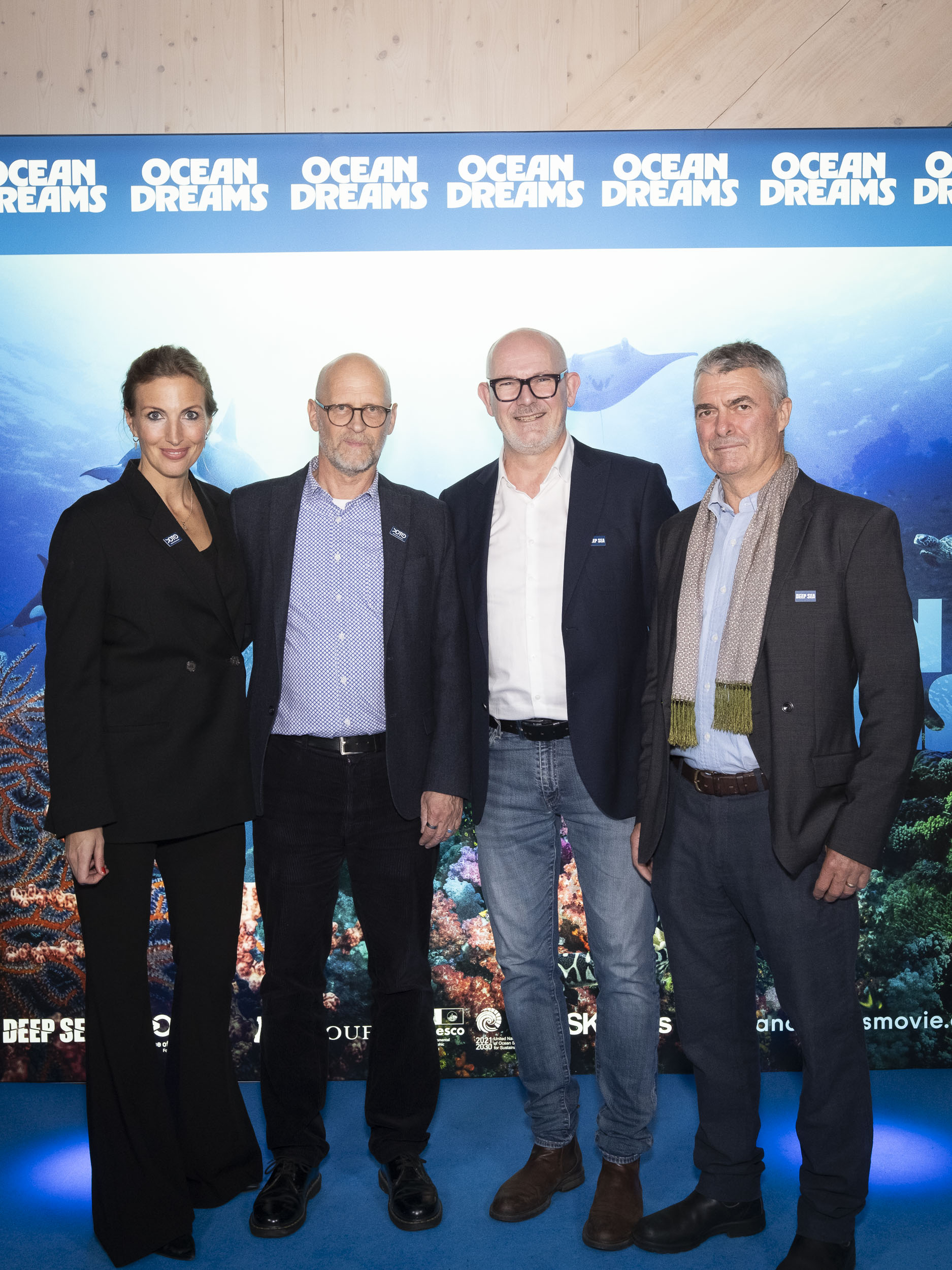
Ocean Dreams Gothenburg Premiere
On 21 October, Ocean Dreams had its Gothenburg premiere at Wisdome Gothenburg,…
-
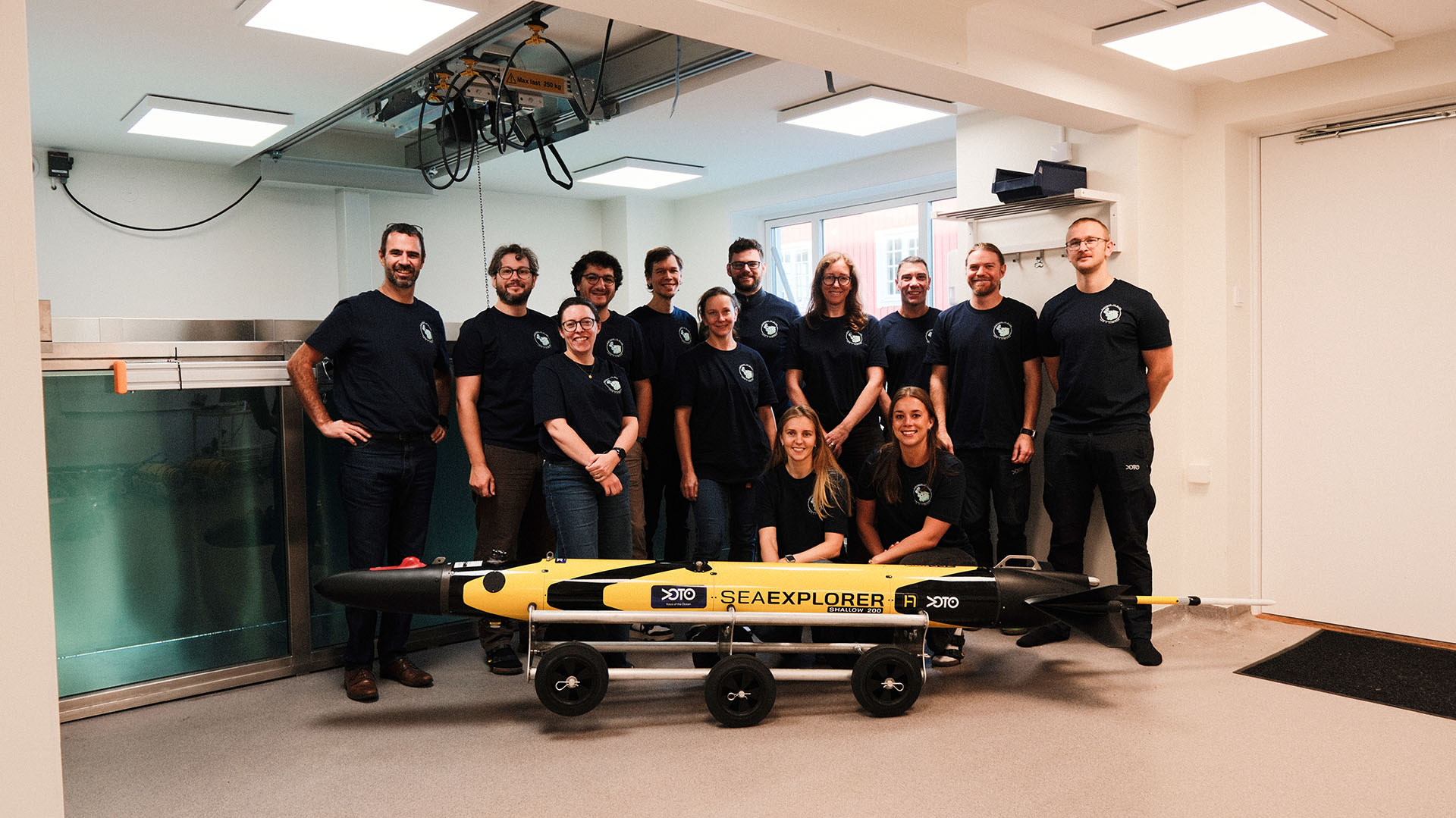
Voice of the Ocean’s first SEAEXPLORER 200 shallow gliders delivered, built for shallow seas like the Baltic Sea by ALSEAMAR
With the delivery of the final glider, ALSEAMAR has completed Voice of…
-
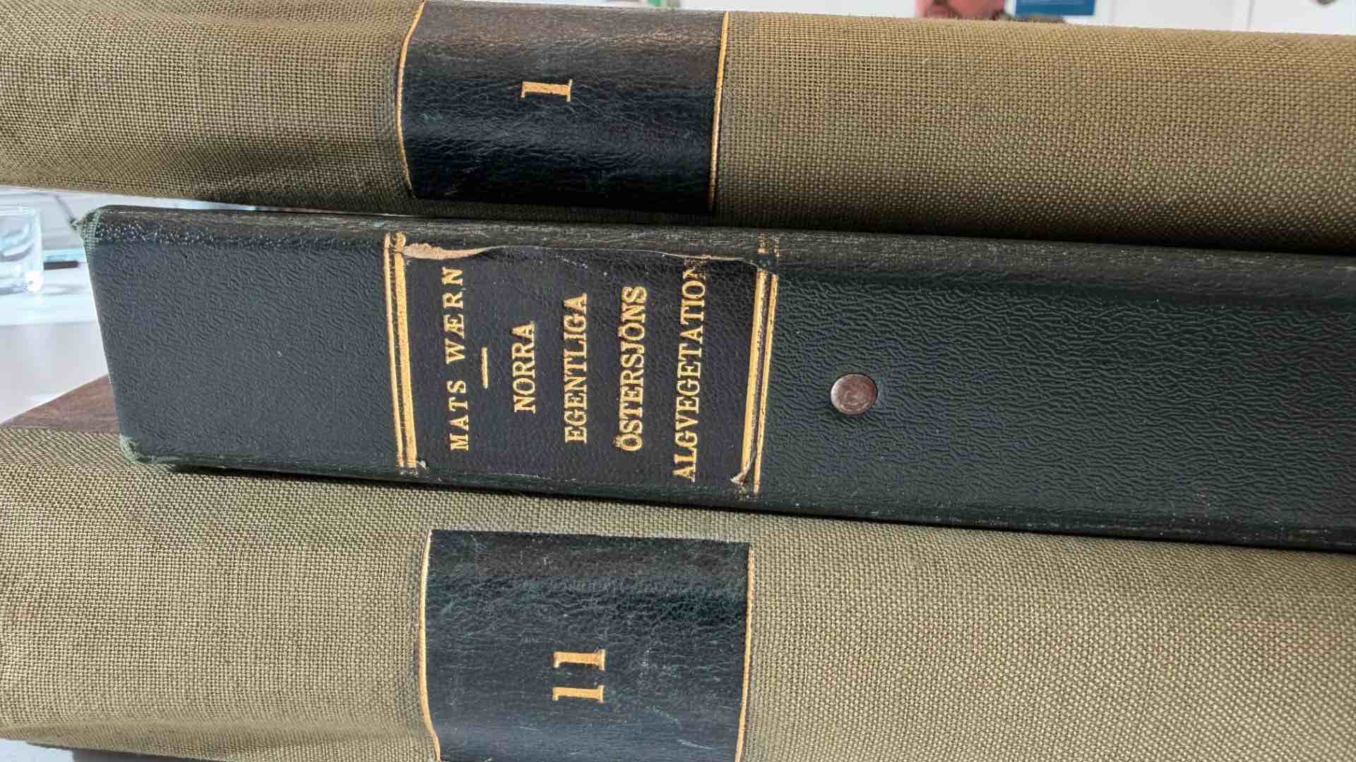
Baltic Sea herbarium from 1938 comes to Ocean Archive
Preserving a window into the Baltic Sea of 1938 In 1938, the…